Survey Grade Autonomous LiDAR Mapping


Description
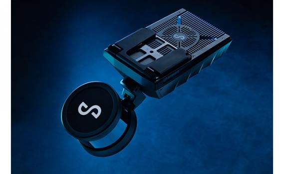
Tough yet lightweight, the Hovermap ST is the latest version of the unique LiDAR mapping and autonomy payload that combines advanced collision avoidance and autonomous flight technologies to allow drones to fly autonomously in challenging GPS-denied environments.
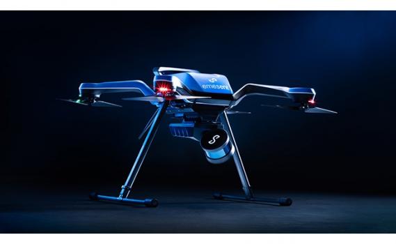
This version includes Emesent’s automated ground control feature, expanding data capture to even harsher environments. It enhances the simultaneous localization and mapping (SLAM) solution to remove SLAM drift and produce survey grade, georeferenced point clouds.
Ground control targets are placed in the environment and captured in a continuous scan with Hovermap ST. There is no need to stop or place Hovermap on the targets, ensuring the capture process remains as efficient as before. The targets are automatically detected by Emesent’s SLAM processing engine and used to both improve the SLAM result and automatically georeference the point cloud to the control points. The process includes automated constellation matching between detected targets and known survey coordinates.
It features an IP65 weather sealed design, a powerful embedded computer for autonomy and mapping, and an accessory expansion port. The rotating LiDAR produces up to 600,000 points per second in dual return mode, covering a near spherical field of view.
The Tap-to-Fly autonomy feature enables Guided Exploration in previously inaccessible areas beyond line of sight and communication range. The omnidirectional Collision Avoidance and smart Return-To-Home functions ensure assets are kept safe and valuable equipment isn’t damaged or lost.
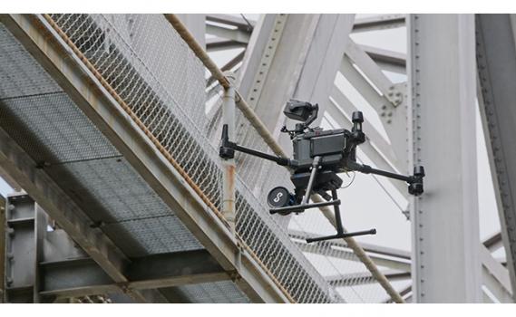
Equally capable above ground or underground, indoors or out, Hovermap ST’s plug and play design enables seamless switching between drone, walking, vehicle or backpack-mounted scanning.
Specs
- Scan the inaccessible
- Survey grade georeferenced pointclouds
- Built for harsh conditions